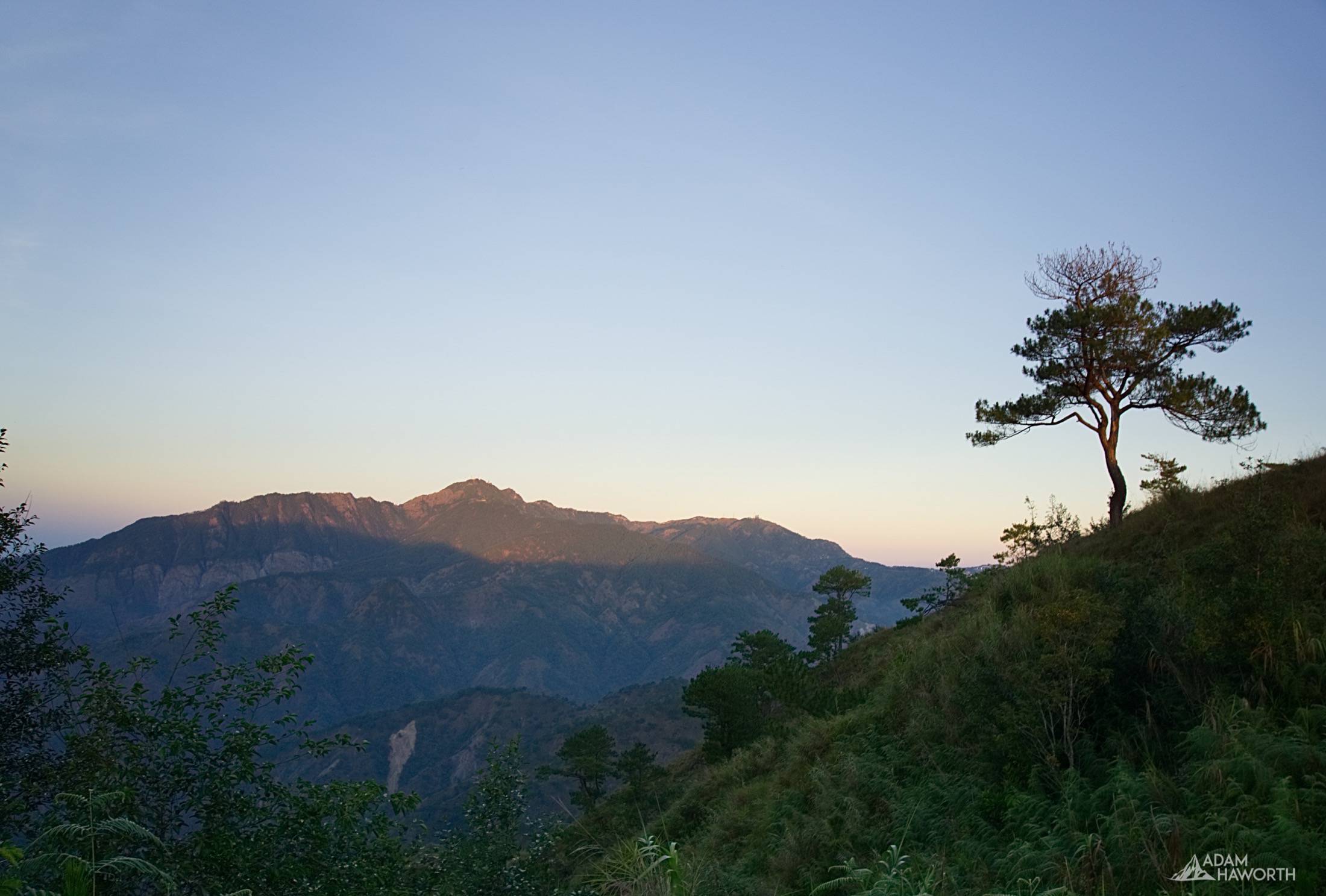
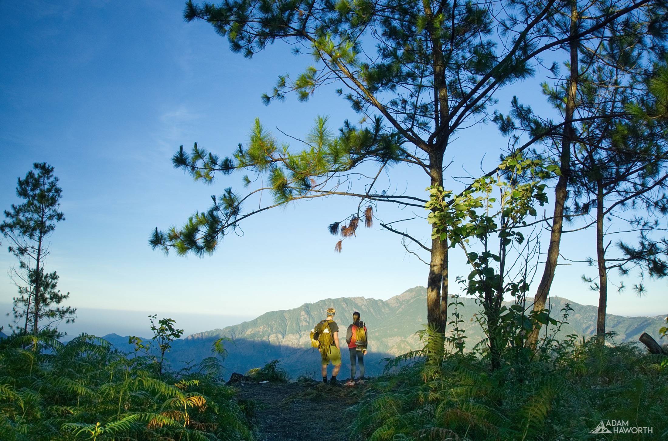
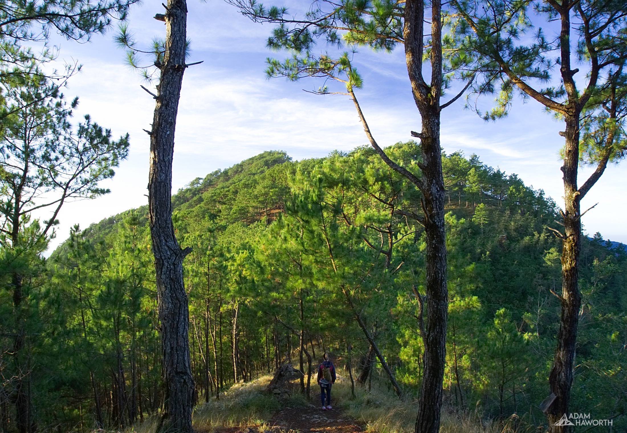
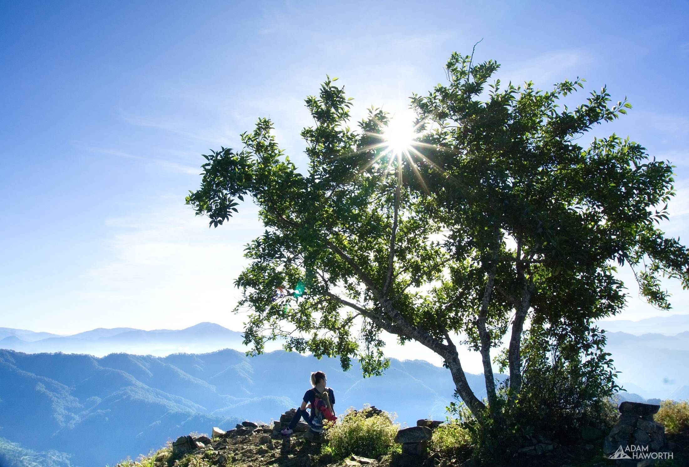
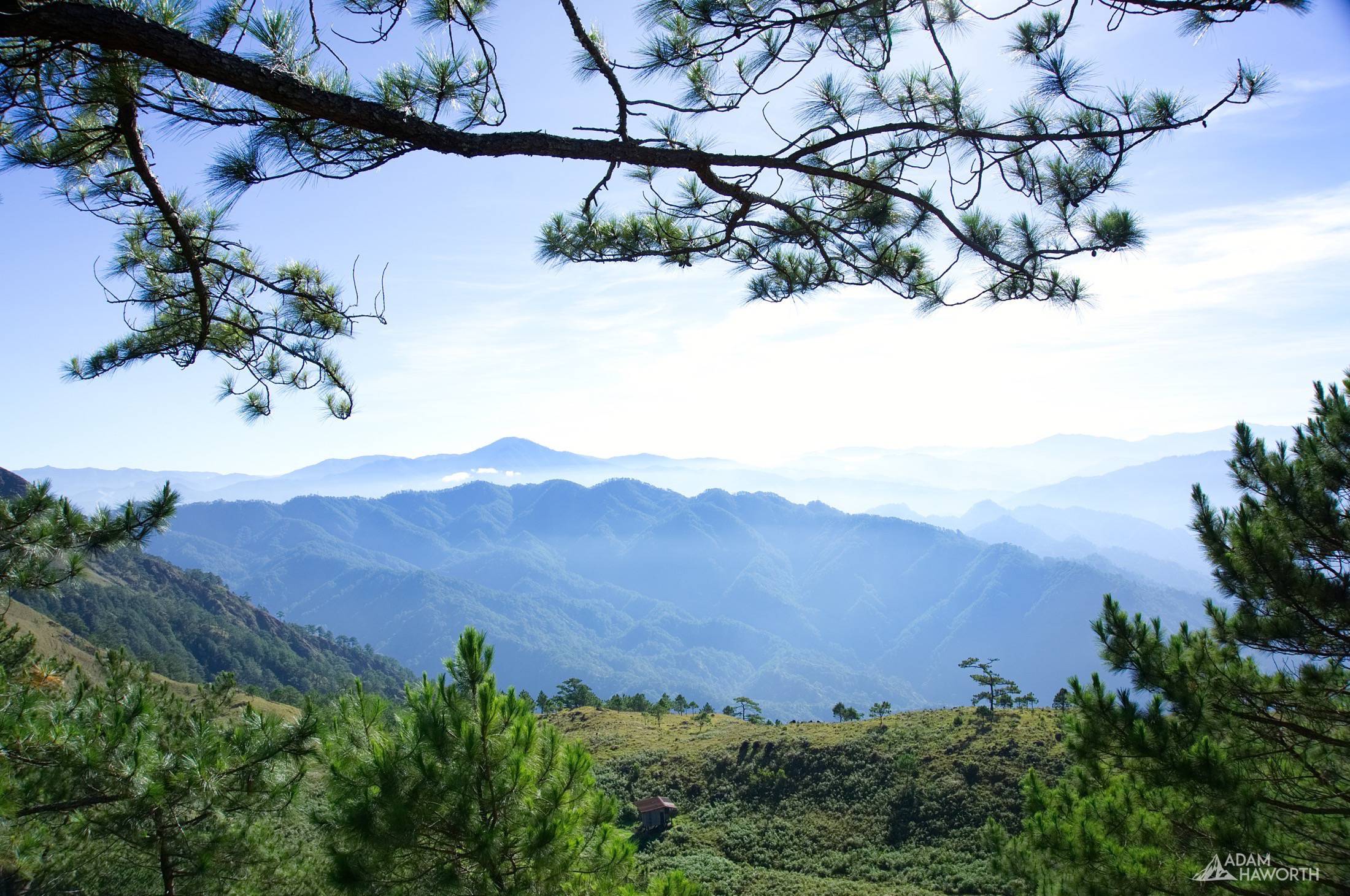
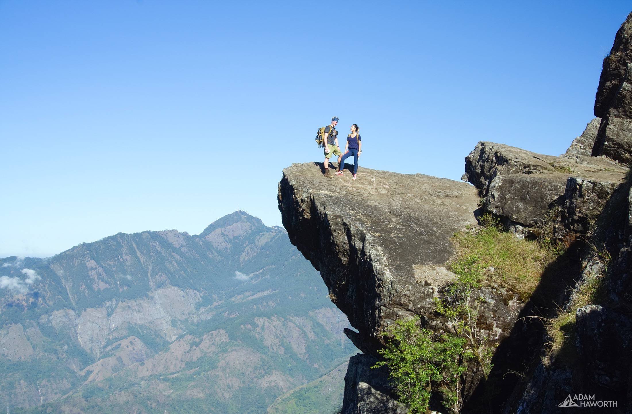
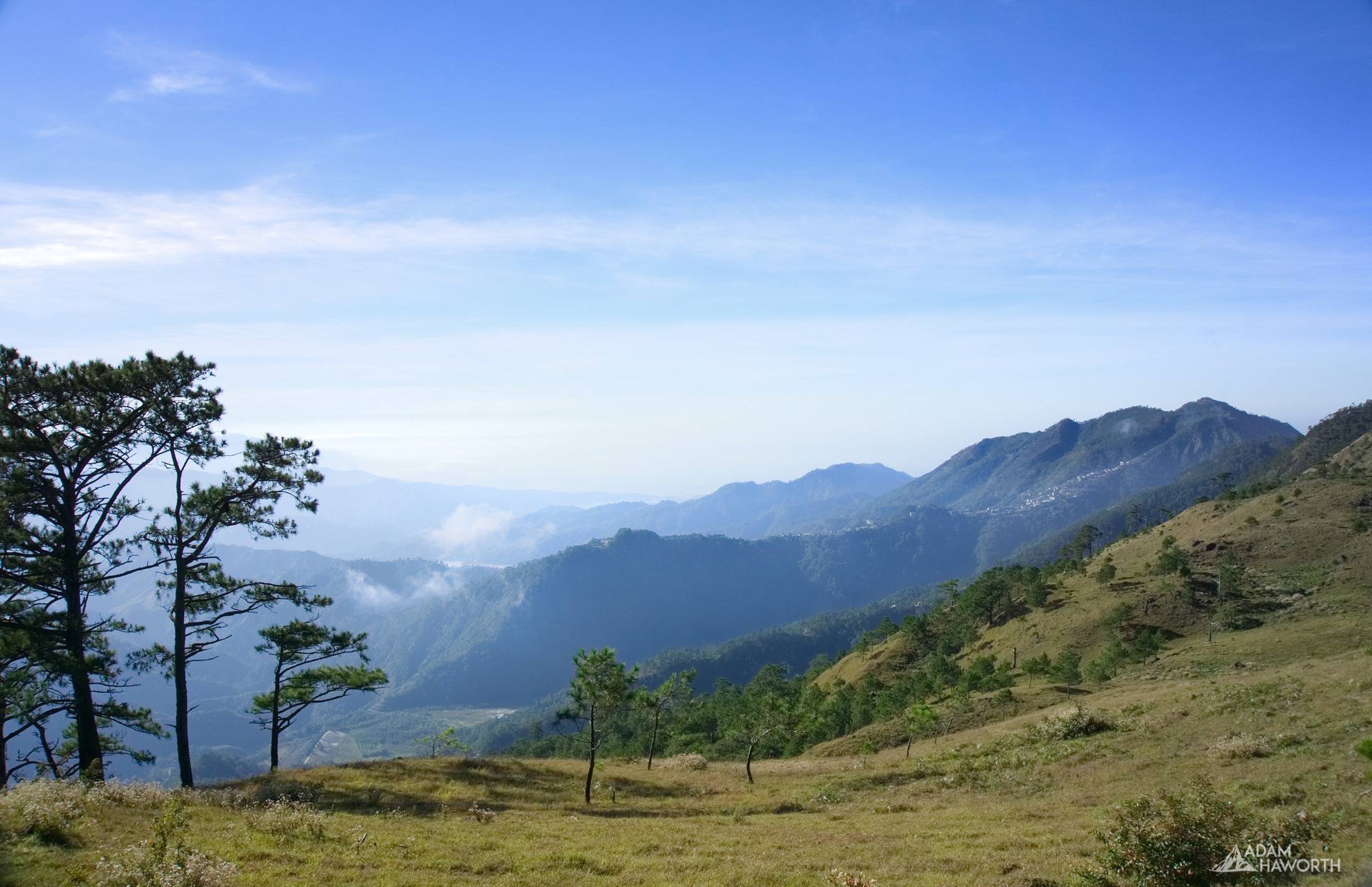
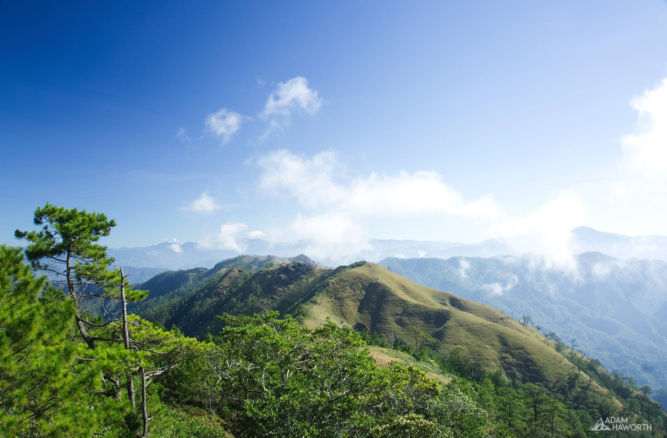
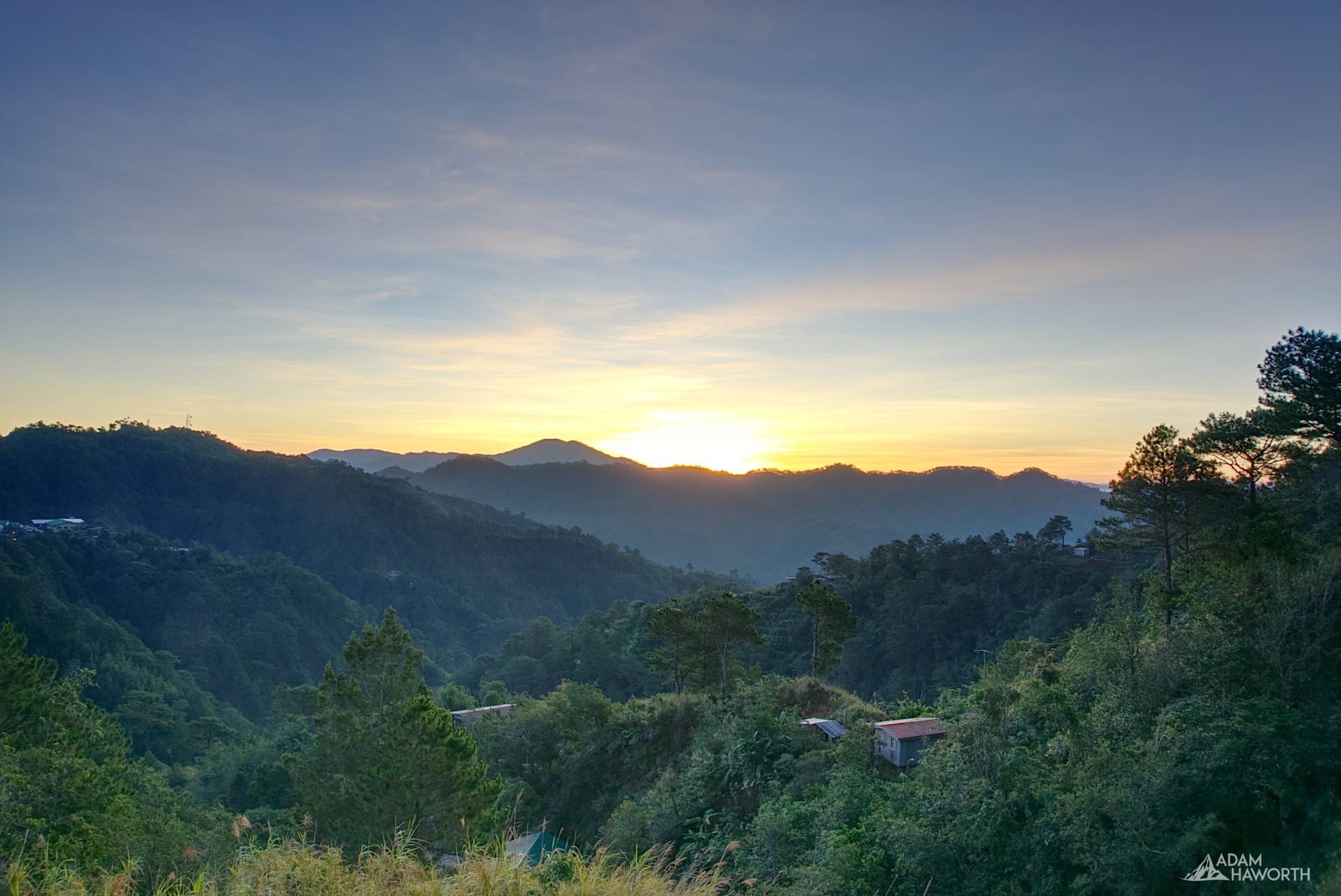
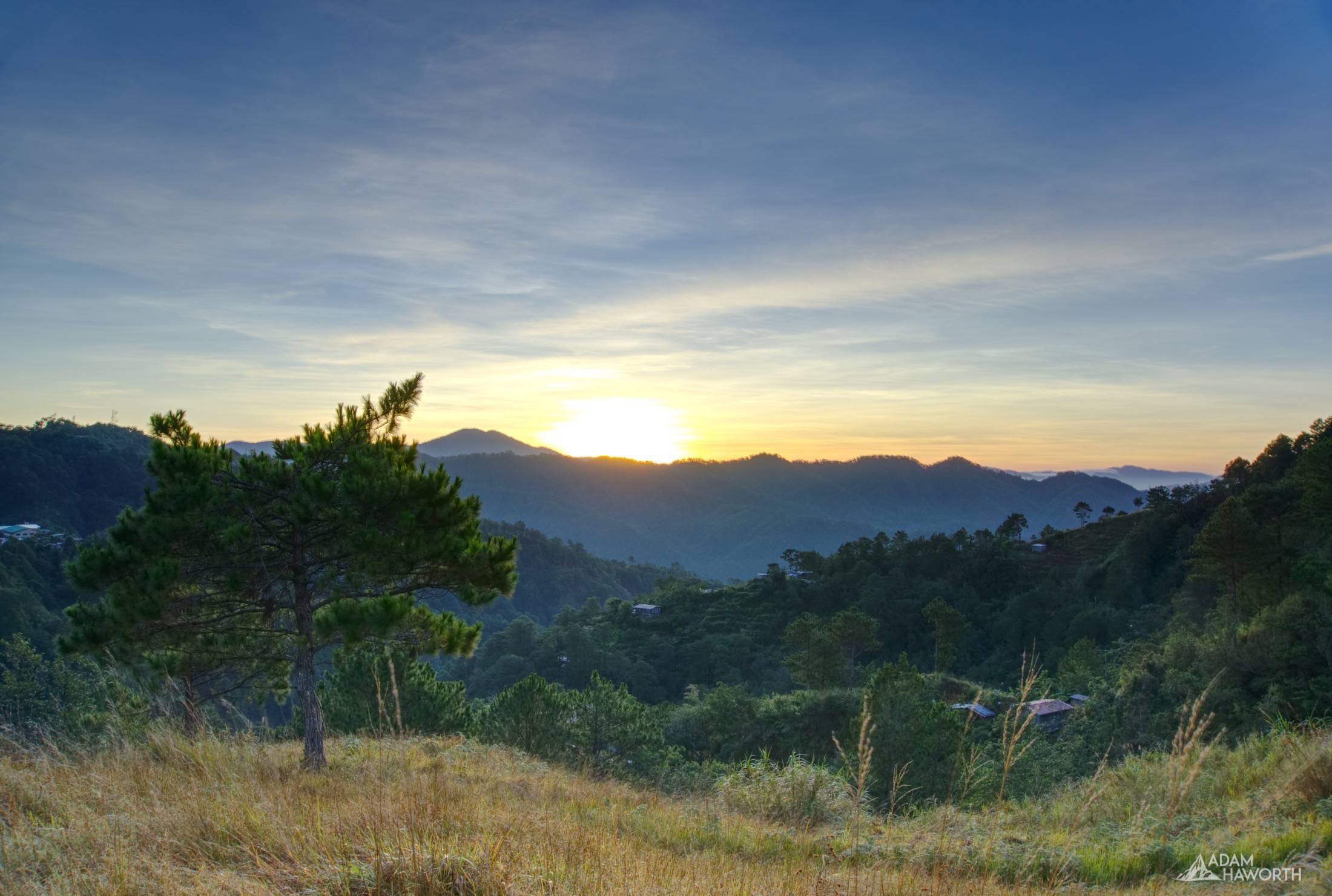
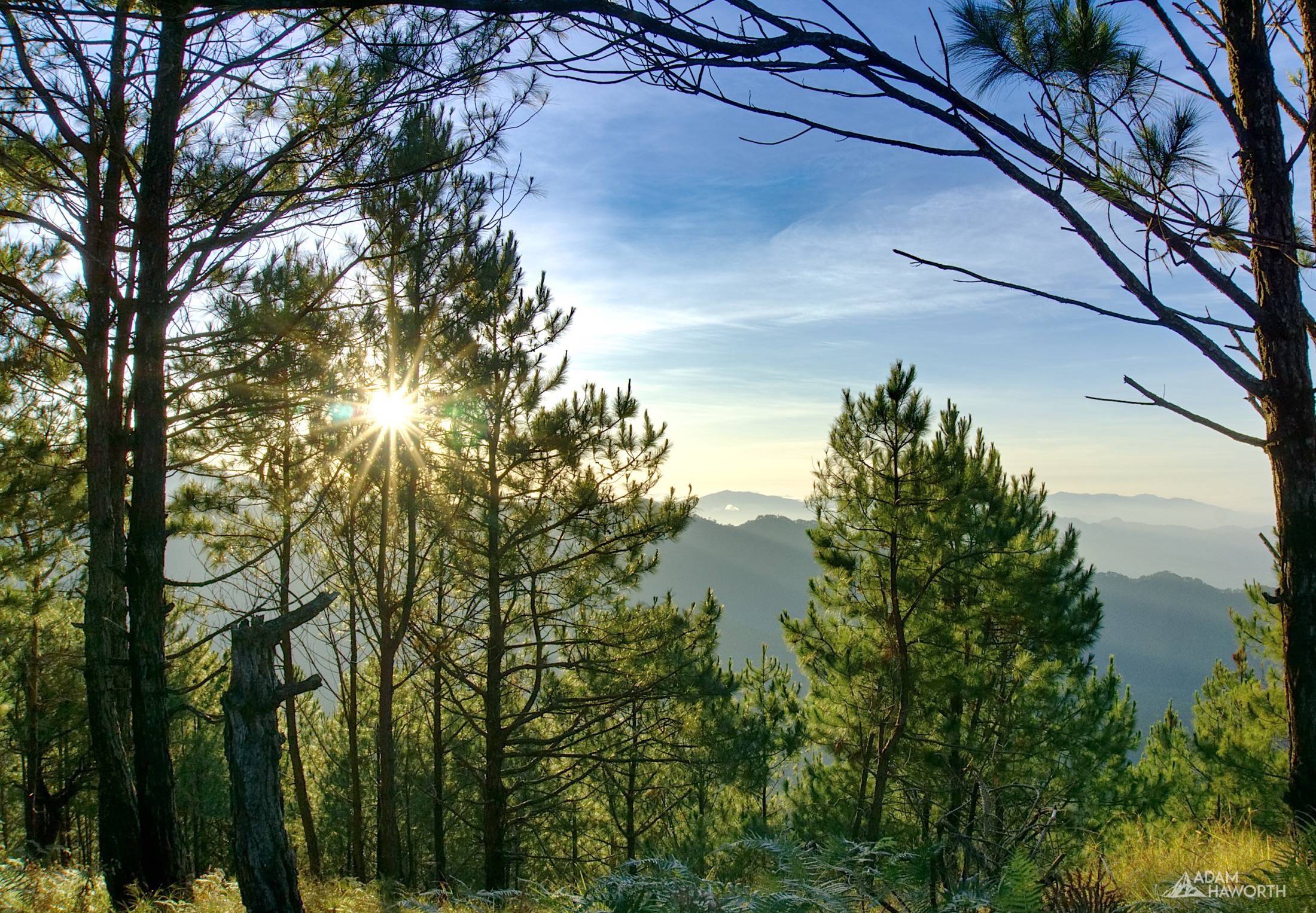
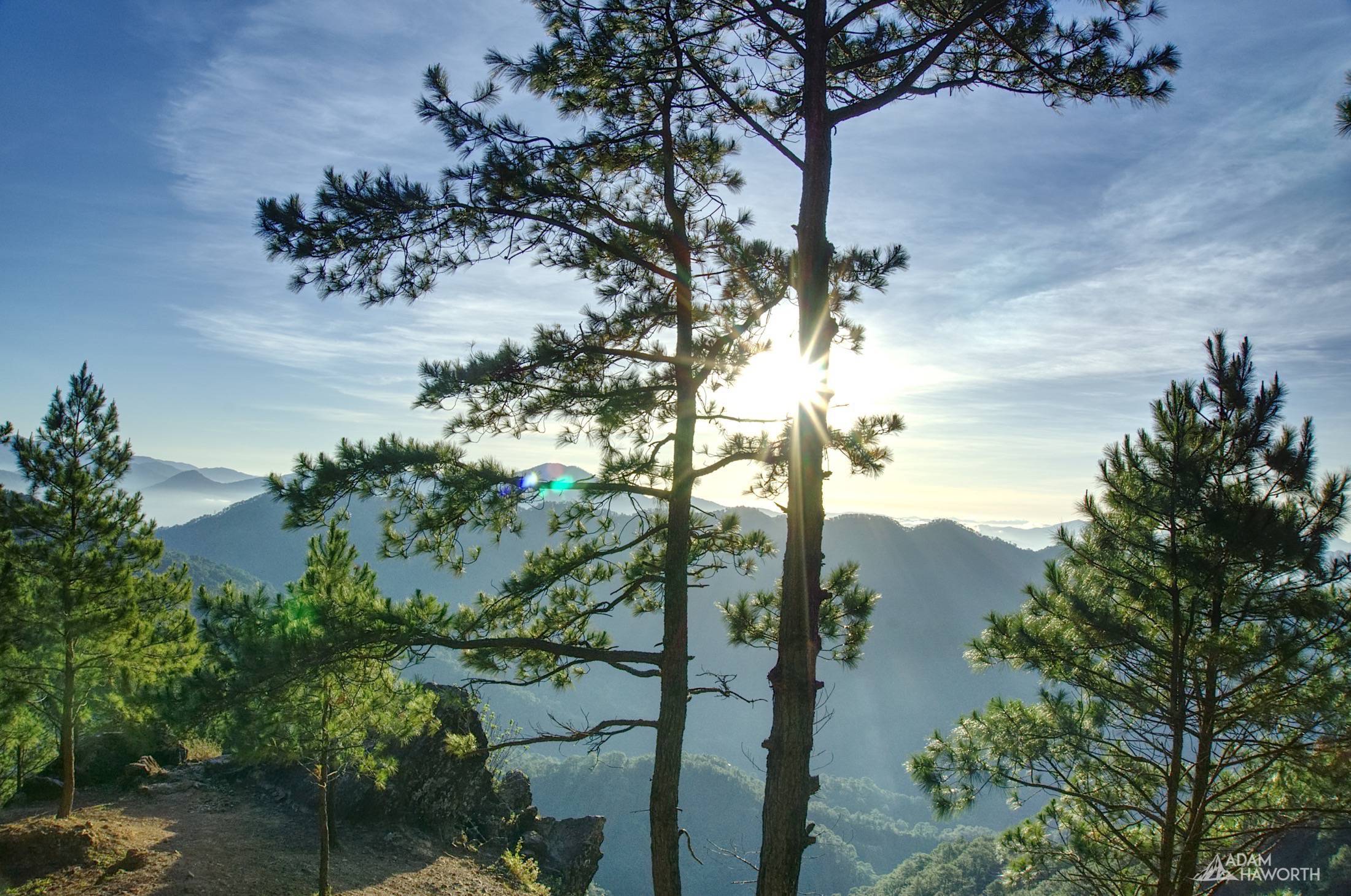
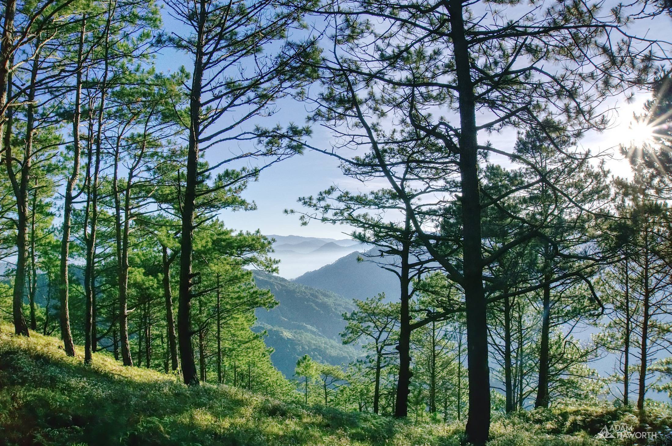
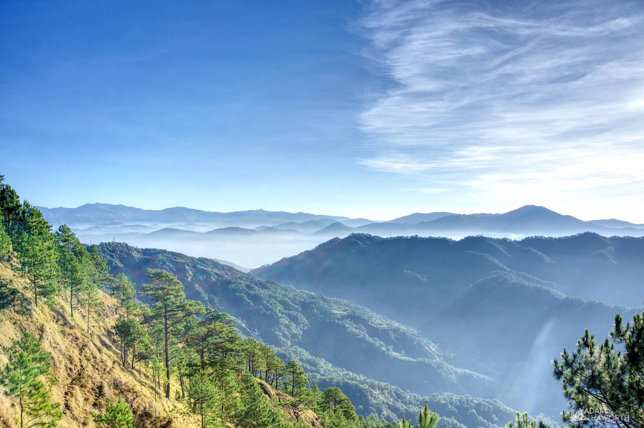
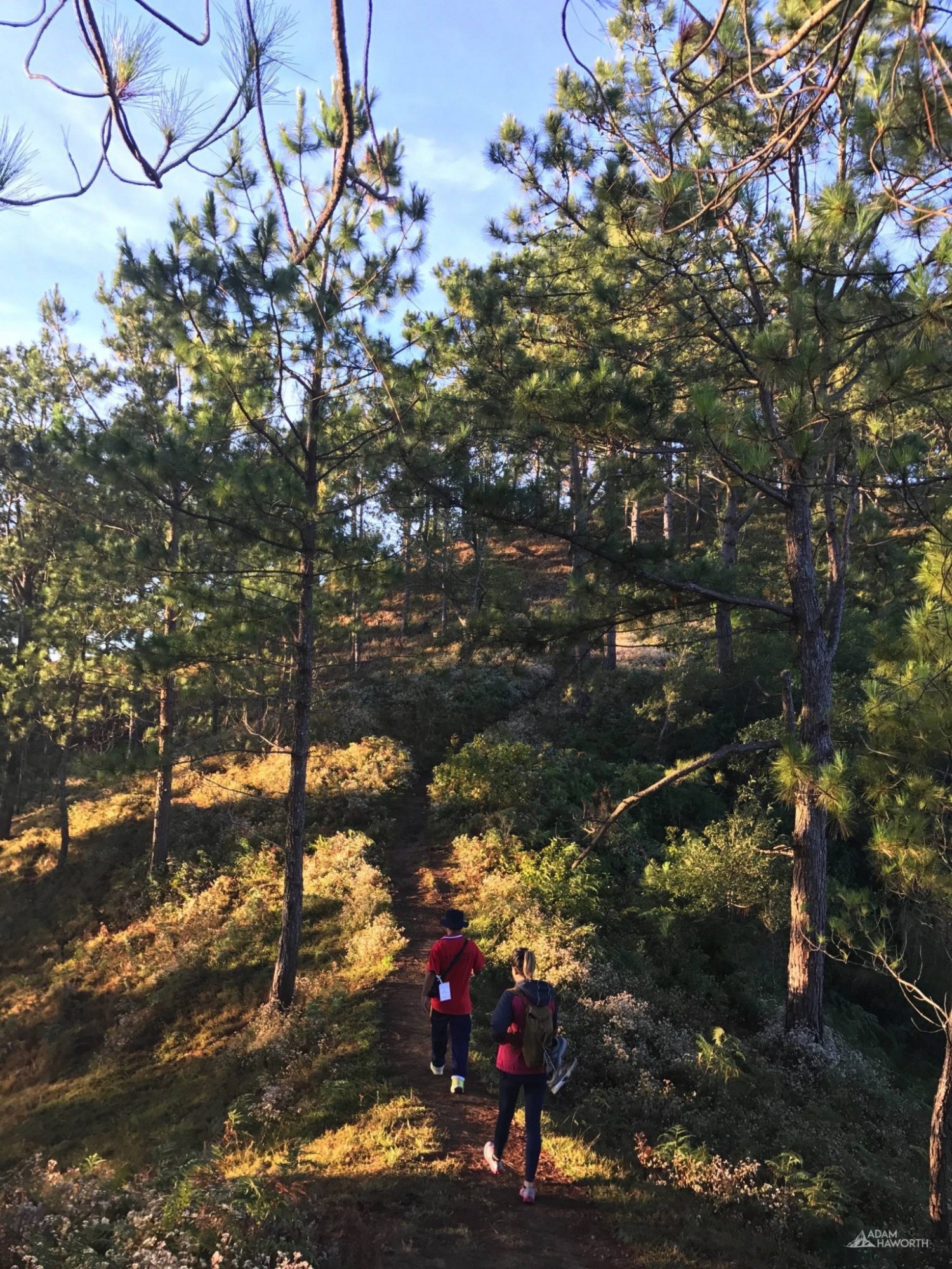
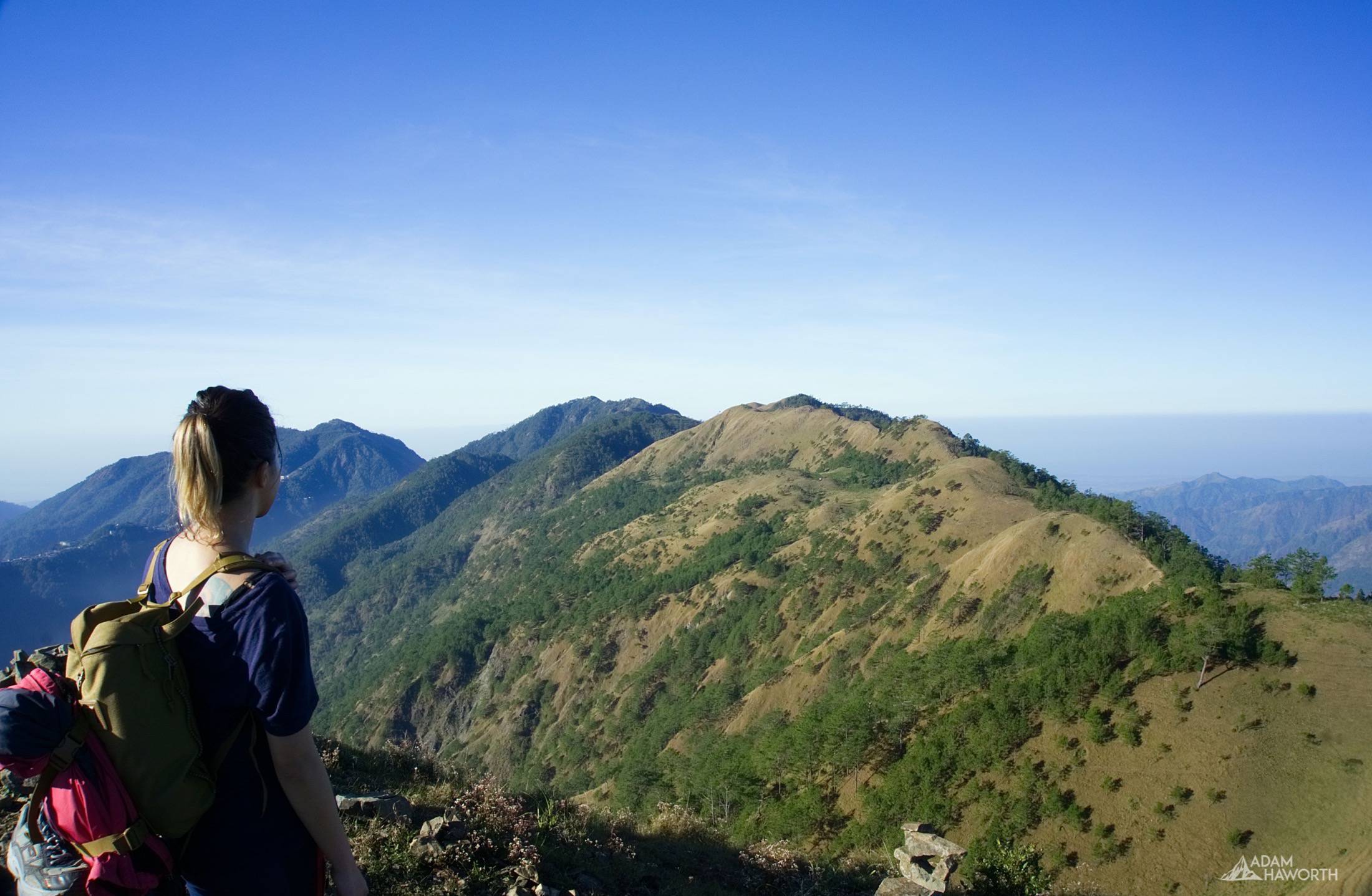
This is the first photography article I’ve written in a while, I have been working & travelling in the Philippines since February so the change in routine has left me neglecting the photography section of my site. This will be the first of many articles that cover the recent trips I have taken across the Philippines and Indochina over the past 5 months.
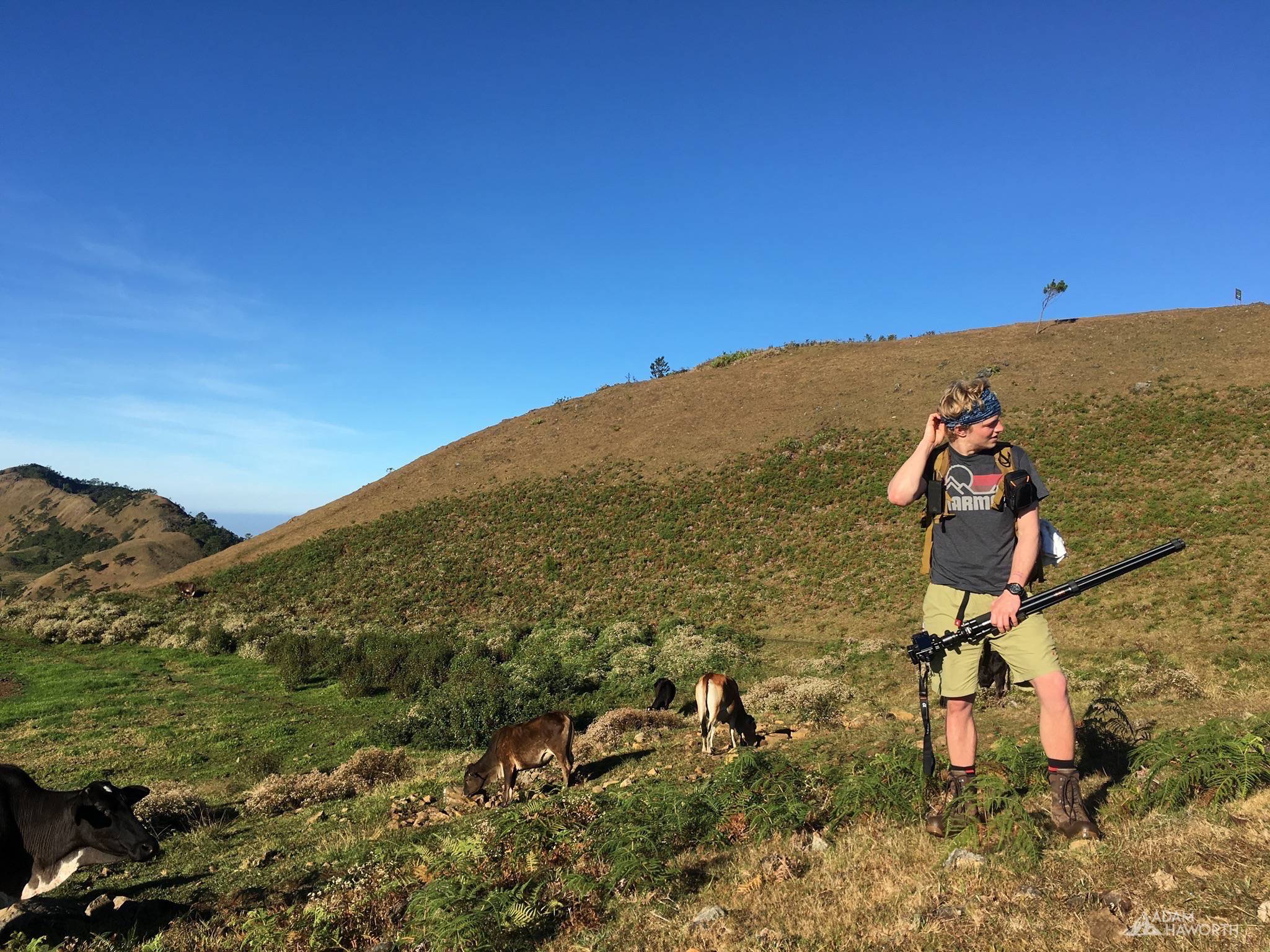
Mt Ulap is one the highest peaks in the Philippines standing just over a mile at 1846 meters, it’s a pretty impressive peak as it’s not part of a huge mountain range and views from the summit span for miles in all directions. You can even see as far as the South China Sea on a clear day, Ulap actually means cloud so you often get coverings of cloud on the summit and on the accent, however the two trips I’ve taken it was beautifully clear.
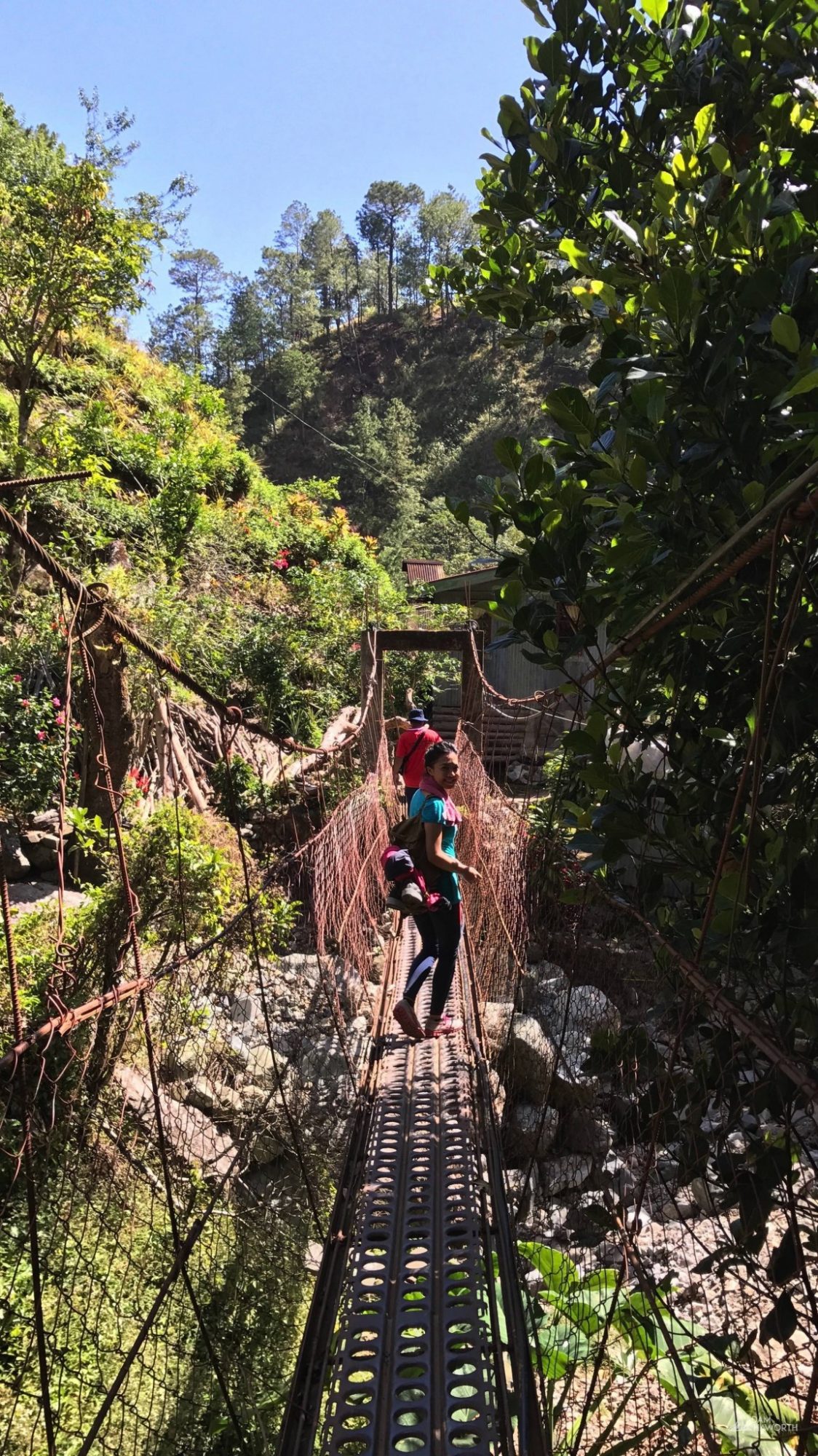
Hiking Mt Ulap won’t be for everyone, having grown up near the Brecon Beacons in rural Herefordshire where you can go just about anywhere in the countryside and find a footpath that you can stroll for hours without seeing a single person. As I’ve grown accustomed to this and one of the reasons I love photography and the great outdoors so much is because I can find calm in the isolation of the countryside, I was slightly put off when I found out that you need to have a guide accompany you on the entire hike. It isn’t a particularly long hike at around 10 miles and the path is pretty clear the entire way so the need for the guide is somewhat unclear – I guess it helps provide money for locals and hopefully, some of that money goes into protecting the beautiful area. Having a guide wasn’t all that bad and on the second visit the guide was full of information and even helped manage the three dogs we decided to bring on the adventure.
The hike is pretty straightforward, no matter how early you arrive, there always seems to be a group already on their way up, I guess that hiking has become as popular in the Philippines as it is in the UK! You can make the entire hike without seeing many other people as most groups end up at a different pace throughout the route there are a few markers along the route to Mt Ulap which include a few other peaks that you can stop at for a rest and some food.
The best time to visit is before sunrise so you can catch the sunrise from a high advantage point, and continue the rest of the hike in relatively cool temperatures. The heat isn’t much of an issue as you are going to be at least 1300 meters above sea level along the entire route and even high for most of it, that said the shade is limited along most of the ridges so the sun is pretty intense on a clear day.
Below are a selection of some of the photography from my first visit to Mt Ulap, I will add more images from my second trip soon. Please leave your comments below. For info on how to go to Mt Ulap yourself please see the bottom of the post for details of where to register and go to get started.
Mt Ulap Hike Details
MT. ULAP ECO-TRAIL
Itogon, Benguet (See map above)
Entry point: Brgy. Ampucao, Itogon
Exit point: Brgy. Sta. Fe, Itogon
LLA: 16.2904 N, 120.6312 E, 1846 MASL (Mt. Ulap)
Days required / Hours to summit: 1 day / 2-3 hours
Specs: Difficulty 3/9, Trail class 1-3,
Features: Grassland and pine ridges, scenic views of the Cordilleras, burial caves
Source: www.pinoymountaineer.com
How to Register
To reserve a place you will need to go to the following Facebook Pages and send a message, they limit the number of people going up each day so please register in advance – facebook.com/mtUlap
